Deployed research model
EleFind YOLO11
The original aerial detector, evaluated on a 50-image test set and paired with tiled inference for small elephants in large survey photographs.
84.3%
mAP@0.5
50
test images
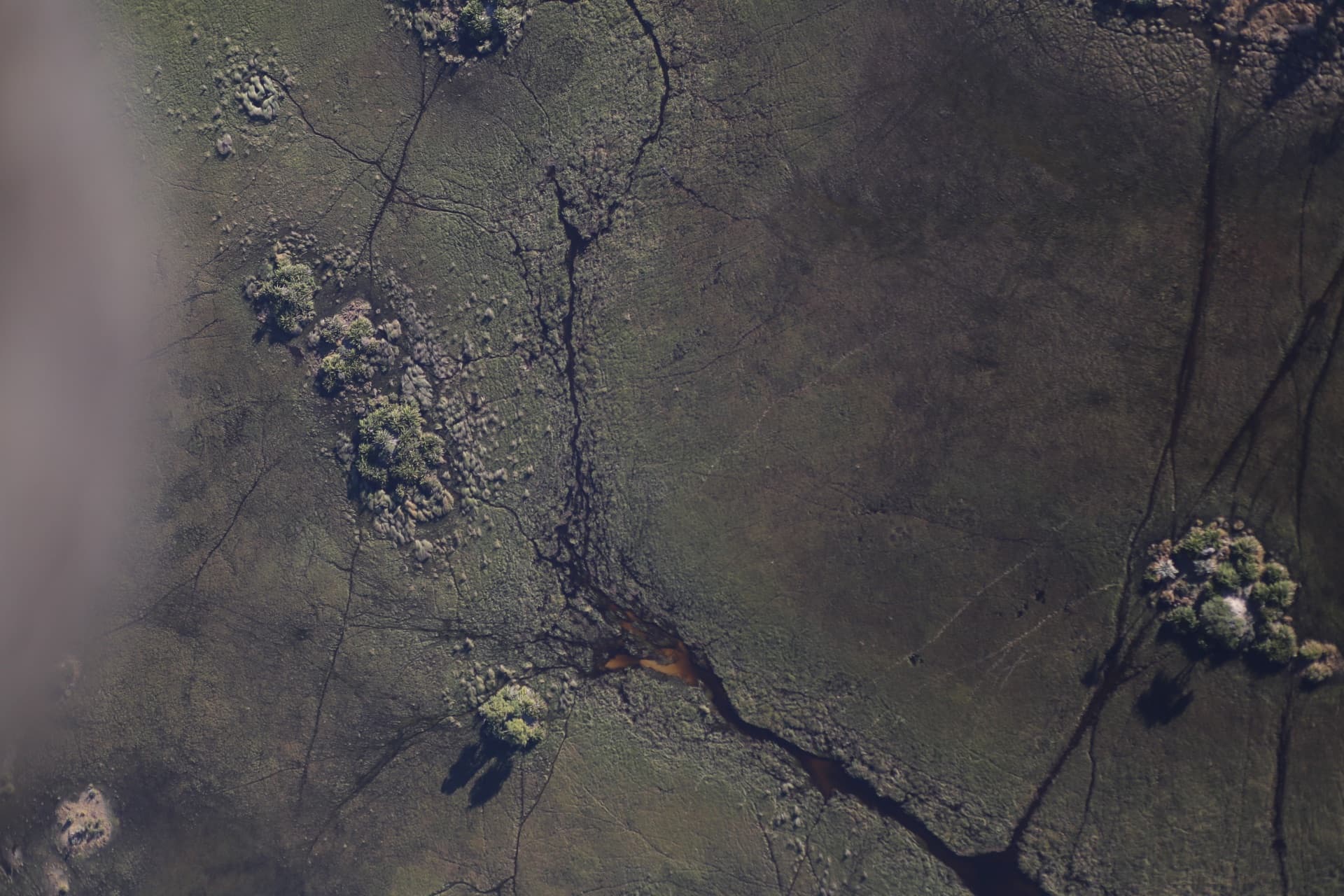
Upload geotagged aerial imagery. EleFind returns annotated detections with confidence scores, places each sighting on a shared conservation map, and warns the households nearest to it.
Ground patrols cannot cover the corridor, so conflict is discovered after it happens. Aerial survey plus computer vision moves the discovery earlier.
elephants killed per year in Sri Lanka
human lives lost to the same conflict
EleFind turns geotagged drone imagery into mapped elephant sightings through a browser-accessible workflow — aerial-image detection, geographic visualisation, confidence filtering, community-recorded crossing zones and proximity alerts in one platform.
Browser-based — nothing to install locally
Built specifically for aerial and drone imagery
Converts geotagged detections into map locations
Warns nearby households when a sighting is verified
The landing page now keeps the results brief. Each model has a dedicated report with its evaluation protocol, training figures, comparison graphs, inference settings and known limitations.
The original aerial detector, evaluated on a 50-image test set and paired with tiled inference for small elephants in large survey photographs.
The next-generation detector, evaluated on 439 held-out full-resolution images with point-based metrics and a direct YOLO11s baseline comparison.
Explainability visualisations show the model concentrating on visible elephant body regions rather than unrelated background features such as vegetation, water, bare ground or shadows.
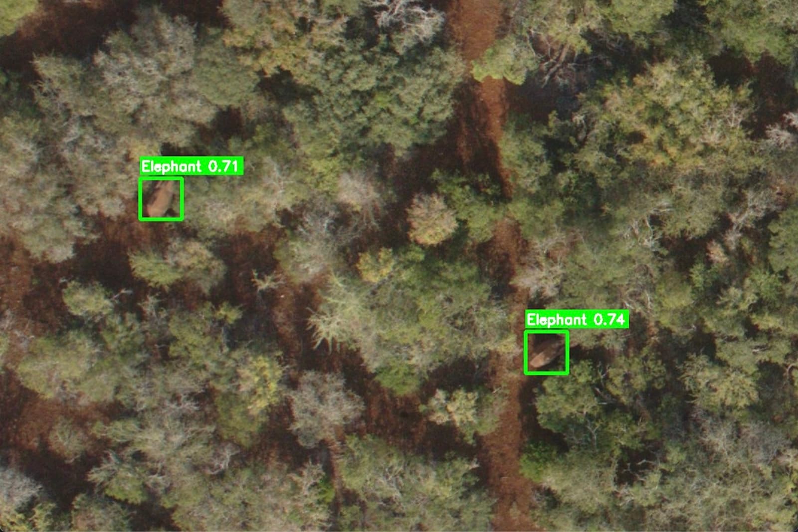 Detection output
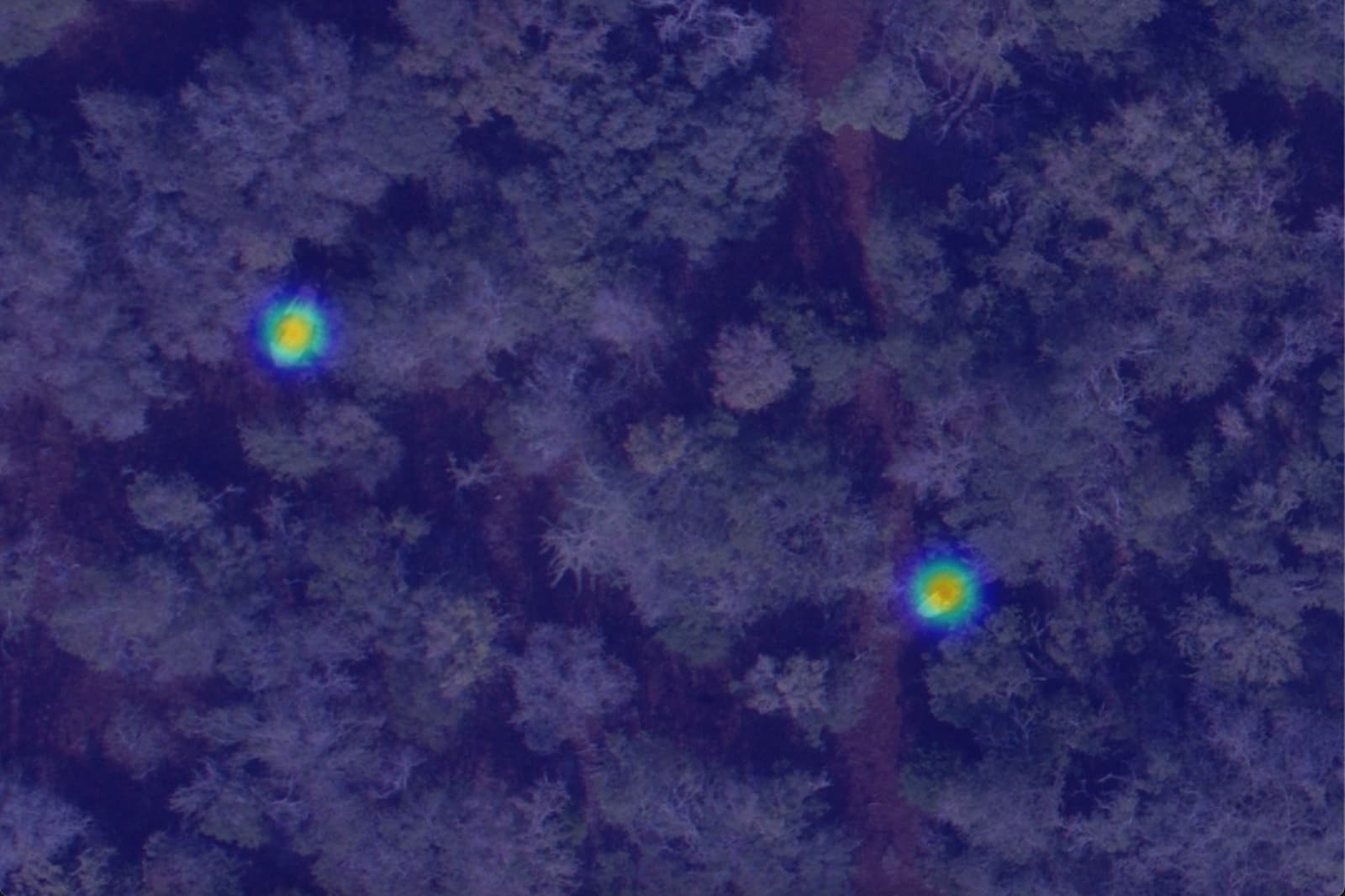 Grad-CAM activation
Register the area you live in and pick a radius. When an officer verifies a sighting inside it, EleFind sends an SMS in your language — with what was seen, how far away, and what to do next. Your home location is stored coarsely and never shown on the public map.
EleFind: 4 elephants seen ~3 km north-east of Hingurakgoda at 18:24. Avoid the Minneriya road tonight. Reply STOP to unsubscribe.
Clear aerial views, open terrain and sparse vegetation.
Dense canopy, woodland boundaries, heavy occlusion or uncertain detections.
A research decision-support tool — not a replacement for professional wildlife assessment, and not an emergency warning service.